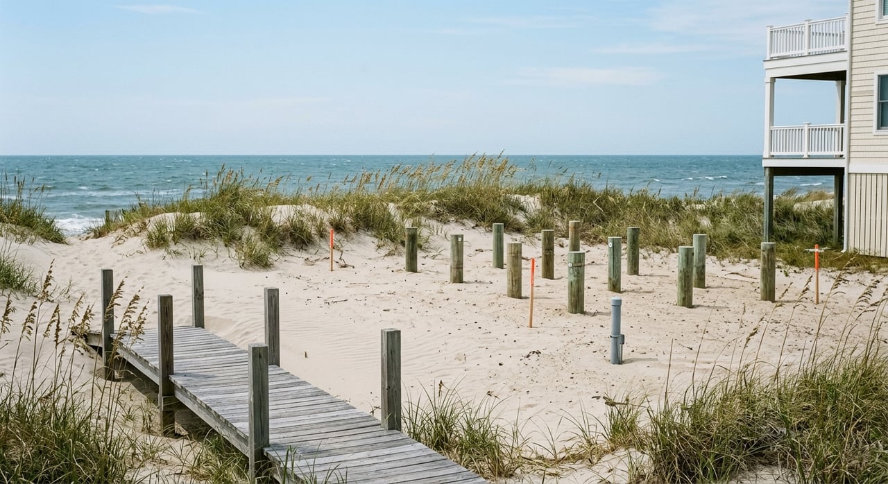
Buying a waterfront lot in Old Oregon Inlet can feel exciting right up until the details start stacking up. A parcel that looks perfect online may come with floodplain rules, setback limits, septic questions, or beach-nourishment costs that change what you can actually build. If you want to buy with confidence, this guide will walk you through the biggest due-diligence items to check before you make an offer. Let’s dive in.
Start With Parcel-Specific Due Diligence
In the South Old Oregon Inlet Road corridor, every lot needs a close review. According to the Town of Nags Head Comprehensive Plan, South Nags Head is intended to remain primarily single-family residential, but the area also includes older nonconforming lots and a mix of zoning patterns in some sections.
That matters because a waterfront lot is not a one-size-fits-all purchase here. Lot coverage, setbacks, flood requirements, and permitting can vary by parcel, so your first move should be confirming exactly how the town classifies the property.
Confirm Zoning Before You Offer
Before you get attached to a lot, ask for a current survey and verify the zoning rules with the town. The Nags Head Zoning Administration page explains that the town handles zoning interpretations, permit enforcement, and variance requests, which makes zoning confirmation one of the most important early steps.
For many residential lots in this area, coverage limits can directly affect the size and layout of a future home. The comprehensive plan notes that residential lot coverage is generally limited to 33%, which can significantly shape your building envelope on a smaller or irregular lot.
Understand Flood Zone and Elevation Rules
Flood zone and finished elevation are central to feasibility in Old Oregon Inlet. The town’s Flood Information page states that the current effective flood maps for Dare County and Nags Head include AE, VE, and AO zones, and parcels in a Special Flood Hazard Area may require a floodplain development permit.
If you plan to finance the purchase, flood insurance may also become part of the equation. Nags Head participates in FEMA’s Community Rating System, and the town says that participation provides property owners a 20% reduction in flood-insurance premiums.
Local elevation standards are another key detail. The town states that its Regulatory Flood Protection Elevation is 12 feet for areas east of NC 12 and SR 1243 and 9 feet for areas west of those roads, which is especially important for lots on or near South Old Oregon Inlet Road.
Look Closely at Oceanfront Setbacks
A lot can appear buildable on paper and still have a smaller usable footprint once setback rules are applied. The NC Department of Environmental Quality says oceanfront setbacks are measured landward from the first line of stable natural vegetation, or a static vegetation line when applicable.
DEQ also states that all buildings must be behind the frontal dune and landward of the crest of the primary dune where those exist. In practical terms, the dune line, erosion rate, and setback calculation may reduce how much of the lot can actually support construction.
Know the Fill and Stormwater Limits
Many buyers assume they can simply bring in sand and build up the site. In this section of Nags Head, that assumption can create expensive surprises.
Under the town’s stormwater, fill, and runoff management ordinance, site-compatible, non-structural fill under or around an elevated building east of NC 12 and SR 1243 is generally limited to 2 feet unless a qualified design professional provides an analysis showing no harmful diversion of floodwater or wave runup. The ordinance also says no bulkheads are allowed in that section.
This is a major issue if you are budgeting for lot prep and expect a simple grading solution. On some waterfront lots, the engineering strategy matters just as much as the purchase price.
Expect CAMA Review in Many Cases
For oceanfront or estuarine shoreline property, CAMA review is not an extra step to sort out later. It is part of the basic buildability picture from day one.
The town’s CAMA information page says development along the oceanfront or estuarine shoreline is typically impacted by CAMA rules, and a minor, major, or general CAMA permit may be required. If a property is in an Ocean Hazard Area of Environmental Concern, DEQ says the applicant must also obtain an AEC Hazard Notice.
Treat Erosion as a Real Cost Factor
In Old Oregon Inlet, erosion is not background noise. It is one of the most important issues affecting build strategy, long-term risk, and carrying costs.
The town’s beach nourishment background page says the latest beach-condition survey showed a weighted average of 27 feet of shoreline recession across the project area from June to October 2025. The same page explains that nourishment is used to protect, maintain, and preserve the coastal system.
That does not mean every lot carries the same risk. It does mean you should evaluate shoreline conditions, setback impacts, and nourishment planning before deciding what the lot is worth to you.
Watch the 2026 Nourishment Timeline
If you are buying now with plans for a quick build, timing matters. The town says the 2026 nourishment project is expected to mobilize in mid-May and begin construction in early June 2026, with the project area extending south to the town line near Cape Hatteras National Seashore.
During active construction, the town says roughly 1,500 to 2,000 feet of beach may be closed at a time, and affected properties are typically impacted for three to six days. That can affect beach access, contractor staging, and the practical timing of survey work or site activity.
Check Easements and Nourishment Taxes
Not all due diligence is visible when you stand on the lot. Some of the most important answers may show up in title work and tax records.
The town’s beach-nourishment easements page says some oceanfront parcels already have perpetual nourishment easements recorded. If a parcel does not have the needed easement, the town says it may be unable to nourish that property, which can create a gap in the project and increase erosion risk.
You should also ask whether the lot falls inside a municipal service district for beach nourishment. According to the town’s beach-nourishment financing and taxes page, funding includes a town-wide property-tax contribution of $0.02, and some properties south of Bonnett Street that are east of South Virginia Dare Trail or South Old Oregon Inlet Road may be subject to two separate beach-nourishment taxes.
Do Not Overlook Dune Rules
Dune work has its own set of rules, and it should never be treated like routine landscaping. The town’s sand relocation guidance explains that different regulations and permits may apply depending on the work involved, and some projects may need a CAMA Minor Permit or exemption.
The town also offers a dune-management cost-share program that may provide up to $1,000 per lot for approved native dune vegetation and certain stabilization materials. If dune maintenance will be part of your long-term ownership plan, it helps to know that this work is regulated and often vendor-dependent.
Verify Water and Septic Feasibility
Utilities can be one of the biggest surprises on a vacant lot. Nags Head says on its Water Operations page that the town is responsible for monitoring water service and water quality, but it also notes that about 80% of Nags Head properties use an on-site sewage system.
That means septic feasibility can become the gating item for whether the lot works for your intended home. Dare County’s septic permit process includes a site evaluation, an improvement permit based on a survey showing planned improvements, a construction permit with proof of an approved water source and house plans, and then an operations permit after final inspection.
If soils, groundwater, or layout do not support a permitted system, the lot may not work the way you hoped. This is why vacant waterfront land should always be evaluated as a build project, not just as a land purchase.
Plan for a Longer Build Timeline
One of the most common mistakes buyers make is underestimating how long it takes to move from contract to construction. In this area, the process usually includes survey review, zoning confirmation, floodplain review, possible CAMA review, septic approvals, and then local permits.
That adds up to a timeline measured in weeks or months, not days. The town’s stormwater ordinance also notes that land-disturbance permits expire if work does not begin within six months, which is one more reason to line up your steps carefully.
Build the Right Local Team
A waterfront lot purchase in Old Oregon Inlet often depends on specialized local knowledge. The town’s zoning administration structure makes it clear that survey accuracy, permit coordination, and code interpretation are all part of a successful path forward.
In practice, buyers often benefit from working with professionals who understand the local survey requirements, coastal design constraints, septic process, and town permitting path. That kind of coordination can save you time, reduce surprises, and help you evaluate a lot before you are too far into the deal.
A Smart Buyer Checklist
Before you move forward on a waterfront or near-water lot in Old Oregon Inlet, make sure you confirm these items:
- Exact zoning and any overlay rules
- Current survey and buildable area
- Flood zone and local elevation standard
- Oceanfront versus estuarine shoreline conditions
- Setbacks tied to dune lines and vegetation lines
- Fill and stormwater restrictions
- CAMA permit requirements
- Beach-nourishment easement status
- Beach-nourishment district taxes
- Septic feasibility and permit path
- Timing impacts from current nourishment work
A beautiful lot is only part of the story. The real value is in what you can build, how long it will take, and what it will cost to get there.
If you are weighing a waterfront lot purchase in South Nags Head or anywhere along the OBX, working with a local expert can help you ask better questions before you commit. Lynn Bulman offers hands-on guidance, trusted local connections, and concierge-level support to help you navigate lot purchases with more clarity and confidence.
FAQs
What should you check first before buying a waterfront lot in Old Oregon Inlet?
- Start with parcel-specific zoning, a current survey, flood zone details, and septic feasibility, because those items drive whether and how the lot can be built on.
What flood elevation rules apply to lots near South Old Oregon Inlet Road?
- The Town of Nags Head states that the local Regulatory Flood Protection Elevation is 12 feet east of NC 12 and SR 1243 and 9 feet west of those roads.
What setback rules affect oceanfront lots in Nags Head?
- Oceanfront setbacks are measured from the first line of stable natural vegetation, or a static vegetation line when applicable, and buildings must be behind the frontal dune and landward of the primary dune crest where those features exist.
What fill restrictions matter when buying a waterfront lot in Old Oregon Inlet?
- East of NC 12 and SR 1243, non-structural fill under or around an elevated building is generally limited to 2 feet unless additional professional analysis supports more.
What taxes or easements should buyers review for Old Oregon Inlet lots?
- Buyers should confirm whether a parcel has a recorded beach-nourishment easement and whether it falls inside one or more beach-nourishment municipal service districts that add carrying costs.
Why is septic approval important for vacant lots in Nags Head?
- Because many properties rely on on-site wastewater systems, septic approval can determine whether the lot supports the home size and layout you want to build.
